Studying urban models in Geography
Year 10 and Year 11 Geography students have been studying urban models. These are land use models developed in the mid-1900s that try and classify land use in cities. They tried to do this to show where you might expect to locate certain activities or even certain classes of residence within a city area.
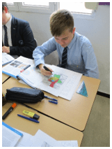
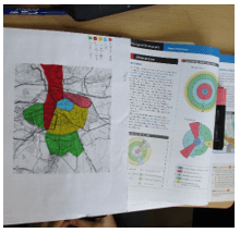
It was thought that planners might be able to apply the models to a range of cities and this would help with urban planning development. Year 10 designed their own urban models for Seville trying to apply what they had learnt.
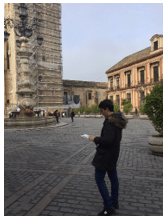
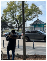
Year 11 actually visited Seville to carry out some fieldwork to try and show whether Seville did fit into the Burgess land use model or not. The write up for this fieldwork will be used as the IGCSE Geography coursework project worth 25% of the students final mark.